Exploring Frontiers in Global Environment and Disaster Predictions Through Integration of Satellite Big Data and Data Science
-
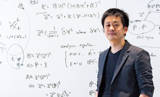
- Principal Investigator
Professor / Shunji KOTSUKI
- Affiliation
Chiba University Institute for Advanced Academic Research / Center for Environmental Remote Sensing
Researchmap
ORCID ID
- Principal Investigator
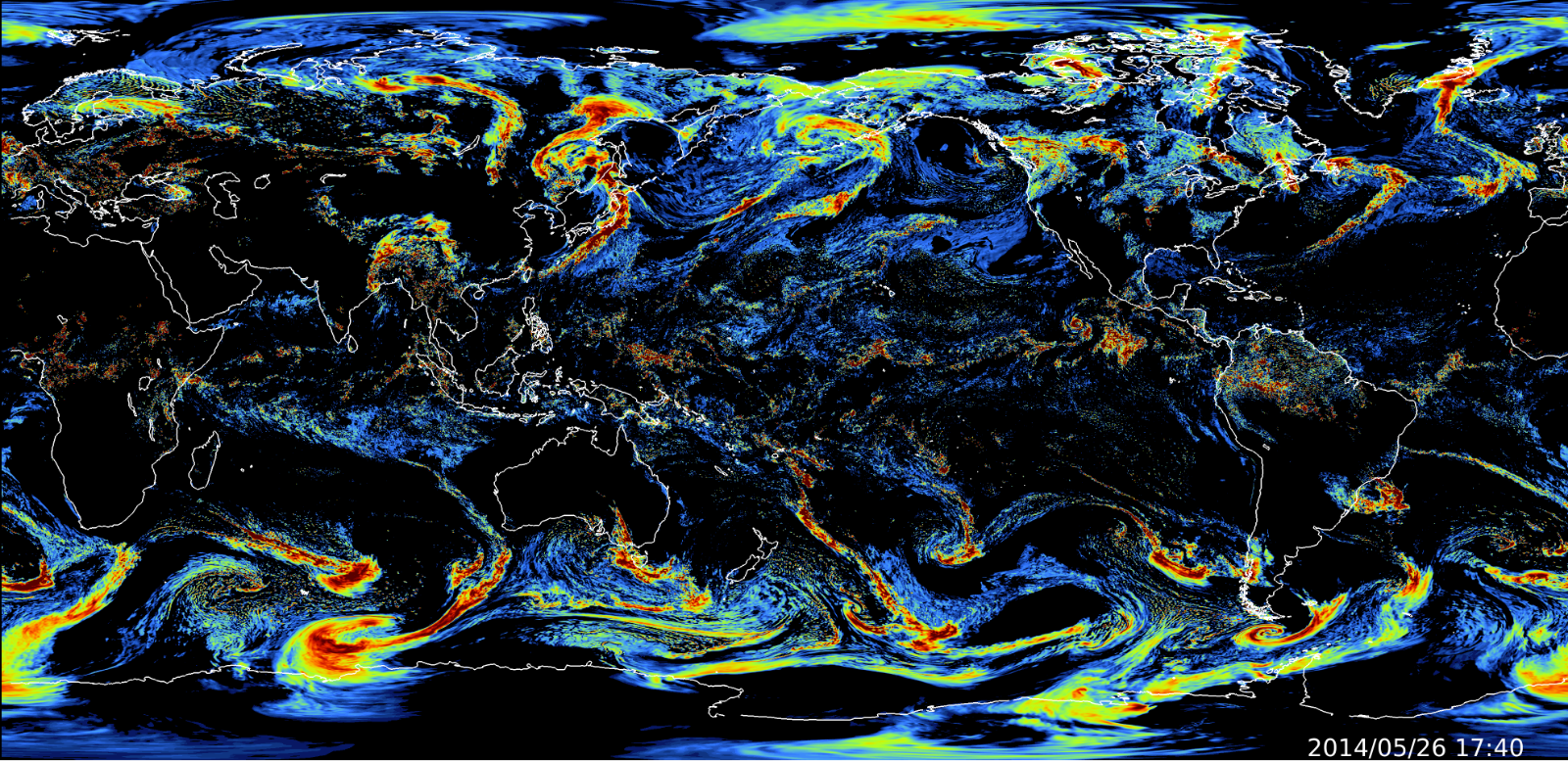
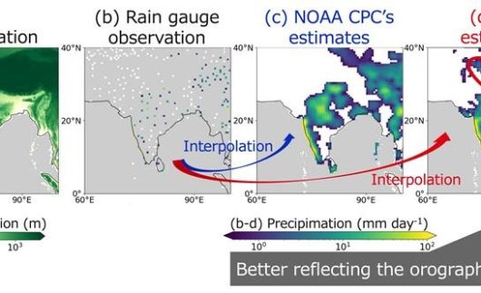
Climate change intensifies severe water-related disasters such as floods, droughts, and wildfires. While improving global environmental and meteorological predictions is an urgent issue, classical process-driven (i.e., numerical-simulation-based) prediction methods are gradually reaching technological maturity. This project aims to strengthen meteorological disaster predictions by integrating massive amounts of satellite data archived at the Center for Environmental Remote Sensing (CEReS) and deploying state-of-the-art data science technologies such as deep learning. Specifically, this project explores a new data-driven precipitation forecast model that uses a vast amount of geostationary satellite data, enabling us to publish an AI weather forecast from Chiba University.
From the perspective of climate change research, we also estimate the Global “Carbon Budget.” The balance between CO2 absorption (income) and emission (expenditure) by the terrestrial and marine ecosystems on the Earth is called the “Carbon Budget.” It is necessary to monitor this balance to predict future global warming. For this purpose, our project develops Chiba University’s original prediction system for land surface environmental change and monitors the Global Carbon Budget by coupling the model and satellite data. If we can detect rapid environmental changes, such as extreme heat or drought, at an early stage by monitoring the carbon budget, then we will be able to predict and take countermeasures against damage to crops at an early stage. Additionally, we promote international contributions using our research achievements by providing insights into the inter-governmental reports on the Global Carbon Stocktake, which confirms the degree of achievement toward the long-term targets set in the Paris Agreement.
Furthermore, we develop a land data assimilationsystem that integrates the hydrological-ecological land surface model and big observation data. This assimilationsystem can improve global carbon budget estimates and contribute to the inter-governmental reports on “global carbon stocktake.” Furthermore, by developing deep learning technology suitable for satellite observation data, we establish the position of an AI research center in satellite observation science and build our own terrestrial ecosystem monitoring product that integrates geostationary satellite groups. By exploring current world-leading cutting-edge Earth science technology, this project will ultimately make the CEReS the hub of the international satellite research community.